Old Exeter Road joins Higher Sandygate
Introduction
The photograph on this page of Old Exeter Road joins Higher Sandygate by Robin Stott as part of the Geograph project.
The Geograph project started in 2005 with the aim of publishing, organising and preserving representative images for every square kilometre of Great Britain, Ireland and the Isle of Man.

There are currently over 7.5m images from over 14,400 individuals and you can help contribute to the project by visiting https://www.geograph.org.uk
Old Exeter Road joins Higher Sandygate
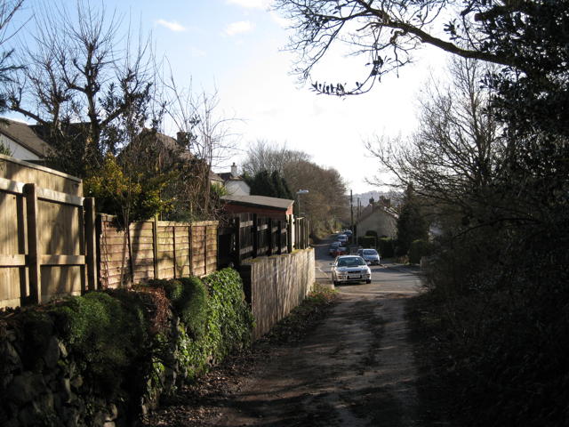
Image: © Robin Stott Taken: 26 Feb 2010
The old Exeter Road, a Roman road, continues north as a track behind the photographer. On the left are the backs of properties in Woodlands. Higher Sandygate bears right as a lane towards Fosterville Image
Images are licensed for reuse under creativecommons.org/licenses/by-sa/2.0
Image Location
Latitude
50.56645
Longitude
-3.599737