Stream from Tarvin Bridge
Introduction
The photograph on this page of Stream from Tarvin Bridge by Dave Dunford as part of the Geograph project.
The Geograph project started in 2005 with the aim of publishing, organising and preserving representative images for every square kilometre of Great Britain, Ireland and the Isle of Man.

There are currently over 7.5m images from over 14,400 individuals and you can help contribute to the project by visiting https://www.geograph.org.uk
Stream from Tarvin Bridge
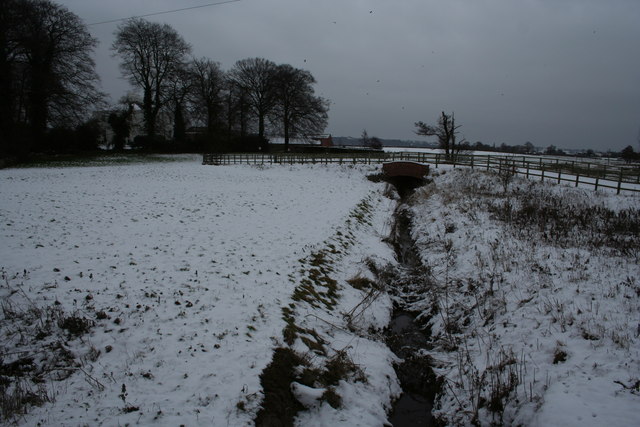
Image: © Dave Dunford Taken: 10 Jan 2010
This unnamed stream (though named further downstream as Milton Brook) flows under the A54 at Tarvin Sands.
Images are licensed for reuse under creativecommons.org/licenses/by-sa/2.0
Image Location
Latitude
53.199995
Longitude
-2.759077