The view east from Risca and Pontymister railway station
Introduction
The photograph on this page of The view east from Risca and Pontymister railway station by Jaggery as part of the Geograph project.
The Geograph project started in 2005 with the aim of publishing, organising and preserving representative images for every square kilometre of Great Britain, Ireland and the Isle of Man.

There are currently over 7.5m images from over 14,400 individuals and you can help contribute to the project by visiting https://www.geograph.org.uk
The view east from Risca and Pontymister railway station
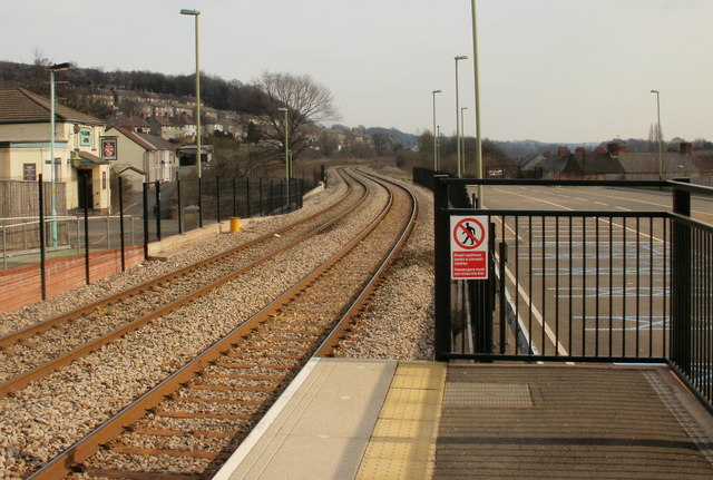
Image: © Jaggery Taken: 11 Mar 2010
Viewed from platform 2. On the left is the Masons Arms pub. http://www.geograph.org.uk/photo/1749442 On the right is part of the parking area. The blue markings on the road surface visible through the vertical bars of the railings designate the area reserved for disabled parking badge holders.
Images are licensed for reuse under creativecommons.org/licenses/by-sa/2.0
Image Location
Latitude
51.604682
Longitude
-3.088687