Rea Valley walkway
Introduction
The photograph on this page of Rea Valley walkway by David Stowell as part of the Geograph project.
The Geograph project started in 2005 with the aim of publishing, organising and preserving representative images for every square kilometre of Great Britain, Ireland and the Isle of Man.

There are currently over 7.5m images from over 14,400 individuals and you can help contribute to the project by visiting https://www.geograph.org.uk
Rea Valley walkway
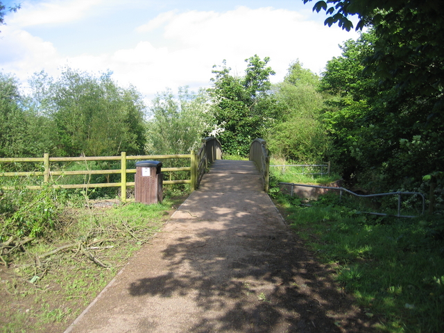
Image: © David Stowell Taken: 26 May 2006
This walkway, as its name suggests follow the river of the same name as it weaves its way towards the centre of Birmingham. See http://www.riverreatrail.org.uk/ and Image At this point a small bridge carries the well used path over an overflow weir in an otherwise urban area. See also Image
Images are licensed for reuse under creativecommons.org/licenses/by-sa/2.0
Image Location


Leaflet Map data © OpenStreetMap
Latitude
52.410792
Longitude
-1.949972