Montpelier Rise, Kenton
Introduction
The photograph on this page of Montpelier Rise, Kenton by Danny P Robinson as part of the Geograph project.
The Geograph project started in 2005 with the aim of publishing, organising and preserving representative images for every square kilometre of Great Britain, Ireland and the Isle of Man.

There are currently over 7.5m images from over 14,400 individuals and you can help contribute to the project by visiting https://www.geograph.org.uk
Montpelier Rise, Kenton
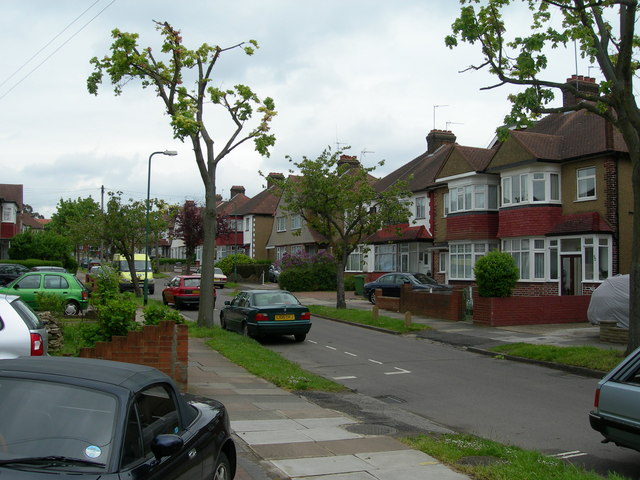
Image: © Danny P Robinson Taken: 21 May 2006
The area around Kenton has many roads that are like this -- this is archetypal 1930s semi detached suburbia. These houses back onto Preston Park.
Images are licensed for reuse under creativecommons.org/licenses/by-sa/2.0
Image Location


Leaflet Map data © OpenStreetMap
Latitude
51.569638
Longitude
-0.306031