The Ravarnet River, Lisburn
Introduction
The photograph on this page of The Ravarnet River, Lisburn by Albert Bridge as part of the Geograph project.
The Geograph project started in 2005 with the aim of publishing, organising and preserving representative images for every square kilometre of Great Britain, Ireland and the Isle of Man.

There are currently over 7.5m images from over 14,400 individuals and you can help contribute to the project by visiting https://www.geograph.org.uk
The Ravarnet River, Lisburn
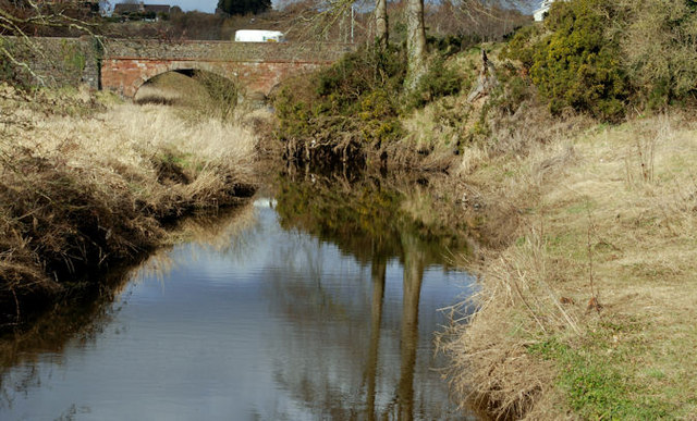
Image: © Albert Bridge Taken: 12 Mar 2010
The Ravarnet River Image looking downstream from the footbridge Image on the Hillsborough Old Road. Moore’s Bridge Image is in the background.
Images are licensed for reuse under creativecommons.org/licenses/by-sa/2.0
Image Location
Latitude
54.49825
Longitude
-6.051017