The Ravarnet bridge, Lisburn (1)
Introduction
The photograph on this page of The Ravarnet bridge, Lisburn (1) by Albert Bridge as part of the Geograph project.
The Geograph project started in 2005 with the aim of publishing, organising and preserving representative images for every square kilometre of Great Britain, Ireland and the Isle of Man.

There are currently over 7.5m images from over 14,400 individuals and you can help contribute to the project by visiting https://www.geograph.org.uk
The Ravarnet bridge, Lisburn (1)
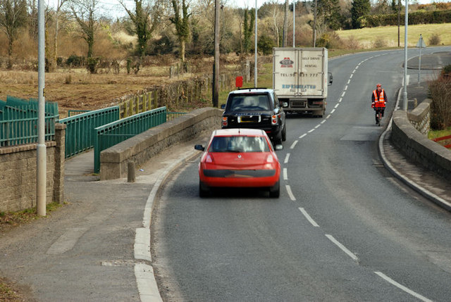
Image: © Albert Bridge Taken: 12 Mar 2010
See Image The view along the Hillsborough Old Road towards the centre of Lisburn, as it crosses the Ravarnet River Image The framing creates the illusion that this is a rural stretch of road. In reality it’s suburban and includes the commercial area at the Altona Road. Continue to Image
Images are licensed for reuse under creativecommons.org/licenses/by-sa/2.0
Image Location
Latitude
54.497879
Longitude
-6.050263