(New) Ballingdon Farm
Introduction
The photograph on this page of (New) Ballingdon Farm by Rob Farrow as part of the Geograph project.
The Geograph project started in 2005 with the aim of publishing, organising and preserving representative images for every square kilometre of Great Britain, Ireland and the Isle of Man.

There are currently over 7.5m images from over 14,400 individuals and you can help contribute to the project by visiting https://www.geograph.org.uk
(New) Ballingdon Farm
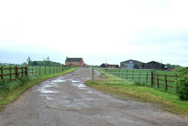
Image: © Rob Farrow Taken: 26 May 2006
A sign says that this is Ballingdon Farm, but the original Ballingdon Farm (now called Old Ballingdon Farm {see Image}) is nearer Jockey End. The farmhouse here is clearly newly built.
Images are licensed for reuse under creativecommons.org/licenses/by-sa/2.0
Image Location


Leaflet Map data © OpenStreetMap
Latitude
51.817717
Longitude
-0.496962