Ashridge Estate lane at Hudnall
Introduction
The photograph on this page of Ashridge Estate lane at Hudnall by Rob Farrow as part of the Geograph project.
The Geograph project started in 2005 with the aim of publishing, organising and preserving representative images for every square kilometre of Great Britain, Ireland and the Isle of Man.

There are currently over 7.5m images from over 14,400 individuals and you can help contribute to the project by visiting https://www.geograph.org.uk
Ashridge Estate lane at Hudnall
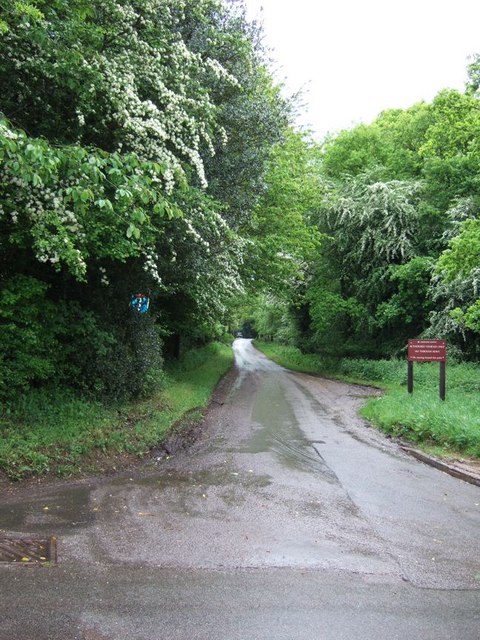
Image: © Rob Farrow Taken: 26 May 2006
The National Trust sign says "Ashridge Estate : Authorised Vehicles Only : No Through Road : No turning Beyond this point"
Images are licensed for reuse under creativecommons.org/licenses/by-sa/2.0
Image Location
Latitude
51.807515
Longitude
-0.543717