Whittle Brook
Introduction
The photograph on this page of Whittle Brook by Keith Williamson as part of the Geograph project.
The Geograph project started in 2005 with the aim of publishing, organising and preserving representative images for every square kilometre of Great Britain, Ireland and the Isle of Man.

There are currently over 7.5m images from over 14,400 individuals and you can help contribute to the project by visiting https://www.geograph.org.uk
Whittle Brook
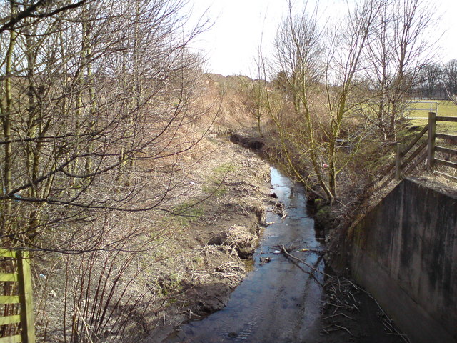
Image: © Keith Williamson Taken: 10 Mar 2010
Looking downstream from the Penketh Road/A562 bridge which crosses the brook here. The stream joins the River Mersey about 500 metres from this point.
Images are licensed for reuse under creativecommons.org/licenses/by-sa/2.0
Image Location
Latitude
53.3844
Longitude
-2.644934