Between Crosby Road and Edward Road
Introduction
The photograph on this page of Between Crosby Road and Edward Road by Kate Jewell as part of the Geograph project.
The Geograph project started in 2005 with the aim of publishing, organising and preserving representative images for every square kilometre of Great Britain, Ireland and the Isle of Man.

There are currently over 7.5m images from over 14,400 individuals and you can help contribute to the project by visiting https://www.geograph.org.uk
Between Crosby Road and Edward Road
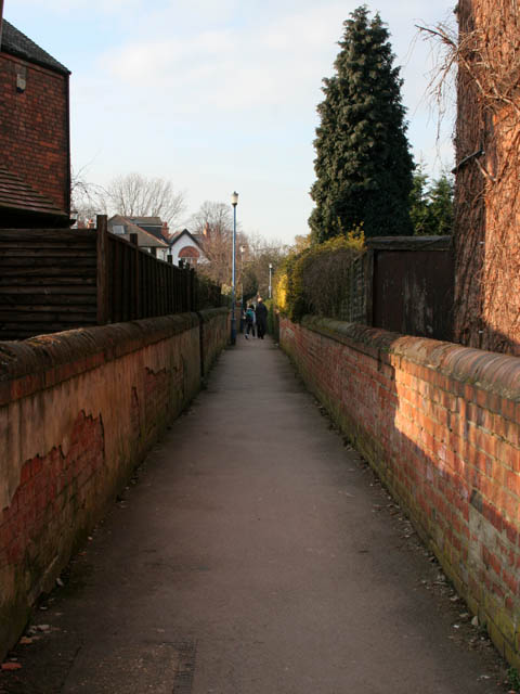
Image: © Kate Jewell Taken: 11 Mar 2010
Although Crosby Road meets up with semi-circular Edward Road at both ends this path links both roads half way along. It also allows easy access to Bridgford Park and Playing Field via another path off Edward Road, See Image
Images are licensed for reuse under creativecommons.org/licenses/by-sa/2.0
Image Location
Latitude
52.935111
Longitude
-1.127052