Turlin Moor, power lines
Introduction
The photograph on this page of Turlin Moor, power lines by Mike Faherty as part of the Geograph project.
The Geograph project started in 2005 with the aim of publishing, organising and preserving representative images for every square kilometre of Great Britain, Ireland and the Isle of Man.

There are currently over 7.5m images from over 14,400 individuals and you can help contribute to the project by visiting https://www.geograph.org.uk
Turlin Moor, power lines
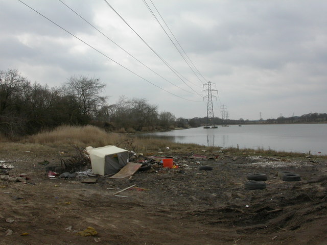
Image: © Mike Faherty Taken: 11 Mar 2010
On the western side of Turlin Moor, with Rockley Viaduct just visible to the left in middle distance. This power line appears to be part of that from Hamworthy to Holton Heath, through the middle of Lytchett Bay. This land/water scene would be more attractive without the dumped furniture and rubbish.
Images are licensed for reuse under creativecommons.org/licenses/by-sa/2.0
Image Location
Latitude
50.722039
Longitude
-2.035505