Eastern slopes of Beinn Eagagach
Introduction
The photograph on this page of Eastern slopes of Beinn Eagagach by Russel Wills as part of the Geograph project.
The Geograph project started in 2005 with the aim of publishing, organising and preserving representative images for every square kilometre of Great Britain, Ireland and the Isle of Man.

There are currently over 7.5m images from over 14,400 individuals and you can help contribute to the project by visiting https://www.geograph.org.uk
Eastern slopes of Beinn Eagagach
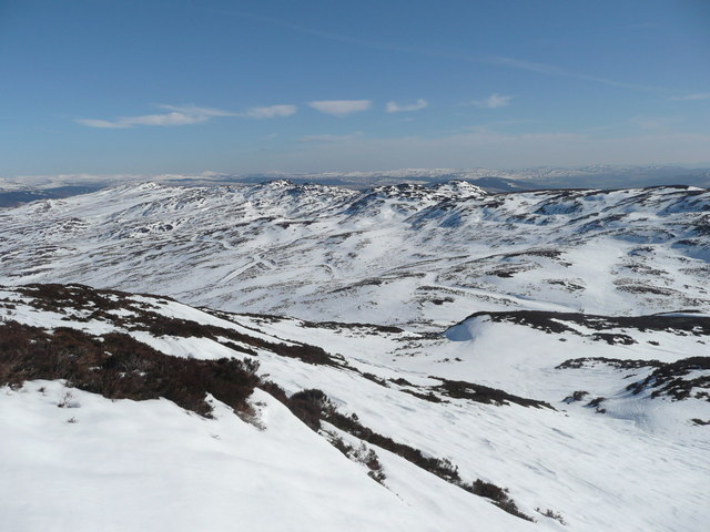
Image: © Russel Wills Taken: 10 Mar 2010
The estate track is clearly visible in the snow. This ridge of hills is the watershed between the rivers Tay to the south and Tummel to the north.
Images are licensed for reuse under creativecommons.org/licenses/by-sa/2.0
Image Location
Latitude
56.687165
Longitude
-3.864015