West Buckland: track to Perry Meade
Introduction
The photograph on this page of West Buckland: track to Perry Meade by Martin Bodman as part of the Geograph project.
The Geograph project started in 2005 with the aim of publishing, organising and preserving representative images for every square kilometre of Great Britain, Ireland and the Isle of Man.

There are currently over 7.5m images from over 14,400 individuals and you can help contribute to the project by visiting https://www.geograph.org.uk
West Buckland: track to Perry Meade
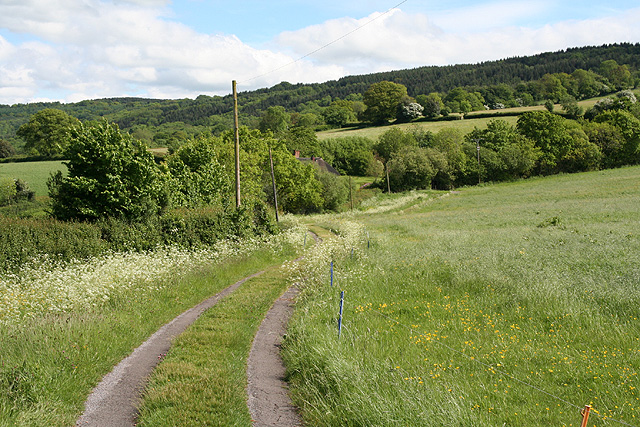
Image: © Martin Bodman Taken: 25 May 2006
The track also serves as a public footpath to Ruggin. The thatched roof of Perry Meade is just visible beyond trees. Looking south-south-east on the edge of the Blackdown Hills
Images are licensed for reuse under creativecommons.org/licenses/by-sa/2.0
Image Location
Latitude
50.9606
Longitude
-3.178647