Footpath to Larbert
Introduction
The photograph on this page of Footpath to Larbert by Lairich Rig as part of the Geograph project.
The Geograph project started in 2005 with the aim of publishing, organising and preserving representative images for every square kilometre of Great Britain, Ireland and the Isle of Man.

There are currently over 7.5m images from over 14,400 individuals and you can help contribute to the project by visiting https://www.geograph.org.uk
Footpath to Larbert
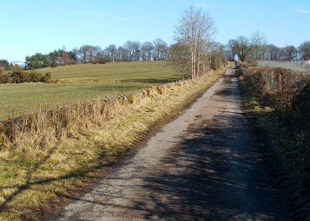
Image: © Lairich Rig Taken: 1 Mar 2010
The field on the left separates the footpath from the motorway. On the other side of the fence that is visible at the right-hand edge of the photograph, a hospital was under construction: Image Not far ahead, the path turns to the right, as indicated on the map: Image
Images are licensed for reuse under creativecommons.org/licenses/by-sa/2.0
Image Location
Latitude
56.027891
Longitude
-3.850244