Footpath towards the Wavendon bridlepath
Introduction
The photograph on this page of Footpath towards the Wavendon bridlepath by Shirley Jones as part of the Geograph project.
The Geograph project started in 2005 with the aim of publishing, organising and preserving representative images for every square kilometre of Great Britain, Ireland and the Isle of Man.

There are currently over 7.5m images from over 14,400 individuals and you can help contribute to the project by visiting https://www.geograph.org.uk
Footpath towards the Wavendon bridlepath
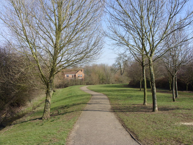
Image: © Shirley Jones Taken: 11 Mar 2010
Running parallel with the small stream the path runs between Rackstraw Grove and Handel Mead.
Images are licensed for reuse under creativecommons.org/licenses/by-sa/2.0
Image Location
Latitude
52.017587
Longitude
-0.675785