Turlin Moor, Maryland Road
Introduction
The photograph on this page of Turlin Moor, Maryland Road by Mike Faherty as part of the Geograph project.
The Geograph project started in 2005 with the aim of publishing, organising and preserving representative images for every square kilometre of Great Britain, Ireland and the Isle of Man.

There are currently over 7.5m images from over 14,400 individuals and you can help contribute to the project by visiting https://www.geograph.org.uk
Turlin Moor, Maryland Road
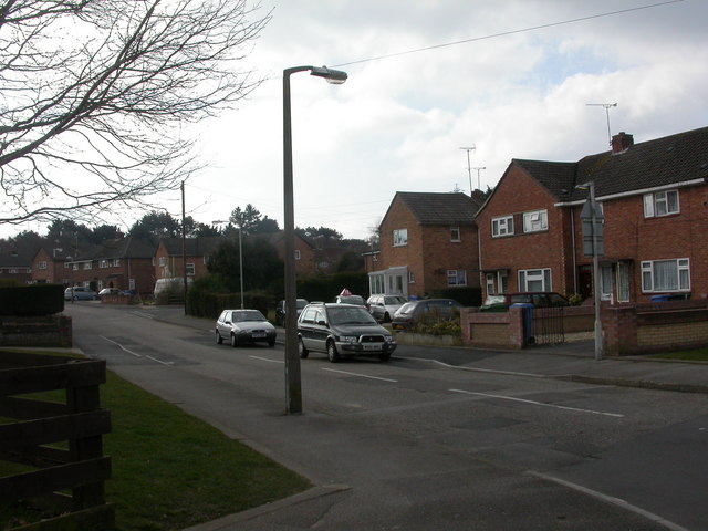
Image: © Mike Faherty Taken: 11 Mar 2010
Off Turlin Road; 1960s-looking housing on Turlin Moor Estate. Beyond the end of the road is the Royal Marines training unit; gunfire is often to be heard.
Images are licensed for reuse under creativecommons.org/licenses/by-sa/2.0
Image Location
Latitude
50.725549
Longitude
-2.023607