Footpath in Knock Wood
Introduction
The photograph on this page of Footpath in Knock Wood by David Anstiss as part of the Geograph project.
The Geograph project started in 2005 with the aim of publishing, organising and preserving representative images for every square kilometre of Great Britain, Ireland and the Isle of Man.

There are currently over 7.5m images from over 14,400 individuals and you can help contribute to the project by visiting https://www.geograph.org.uk
Footpath in Knock Wood
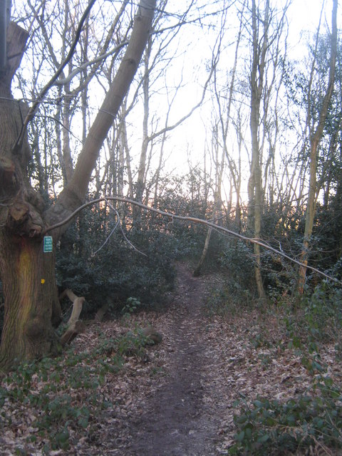
Image: © David Anstiss Taken: 7 Mar 2010
This path leads from Ingleden Park Riding Stable through a section of Knock Wood towards Wealden Avenue, Tenterden.
Images are licensed for reuse under creativecommons.org/licenses/by-sa/2.0
Image Location
Latitude
51.079782
Longitude
0.700141