Path in Culloden Forest
Introduction
The photograph on this page of Path in Culloden Forest by Richard Dorrell as part of the Geograph project.
The Geograph project started in 2005 with the aim of publishing, organising and preserving representative images for every square kilometre of Great Britain, Ireland and the Isle of Man.

There are currently over 7.5m images from over 14,400 individuals and you can help contribute to the project by visiting https://www.geograph.org.uk
Path in Culloden Forest
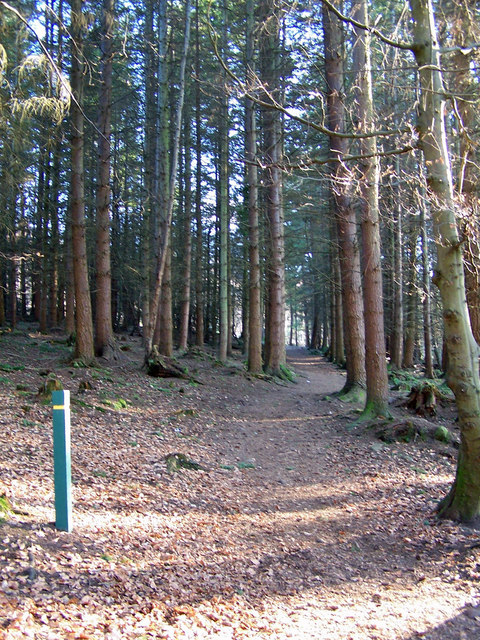
Image: © Richard Dorrell Taken: 9 Mar 2010
There are way-marked paths in the forest, which has been managed by the Forestry Commission since 1926. It was previously part of the Forbes estate.
Images are licensed for reuse under creativecommons.org/licenses/by-sa/2.0
Image Location
Latitude
57.482707
Longitude
-4.135583