The Old School House, Balloch
Introduction
The photograph on this page of The Old School House, Balloch by Richard Dorrell as part of the Geograph project.
The Geograph project started in 2005 with the aim of publishing, organising and preserving representative images for every square kilometre of Great Britain, Ireland and the Isle of Man.

There are currently over 7.5m images from over 14,400 individuals and you can help contribute to the project by visiting https://www.geograph.org.uk
The Old School House, Balloch
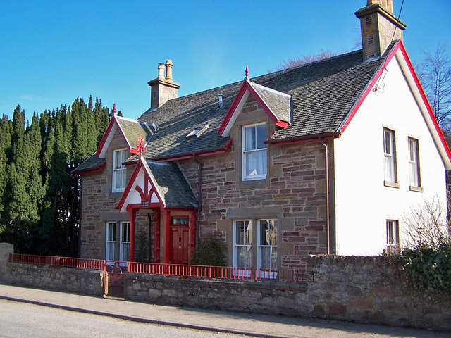
Image: © Richard Dorrell Taken: 9 Mar 2010
Located in Cherry Park, this house stands opposite the present Balloch primary school.
Images are licensed for reuse under creativecommons.org/licenses/by-sa/2.0
Image Location


Leaflet Map data © OpenStreetMap
Latitude
57.495325
Longitude
-4.122636