Bournemouth : Ringwood Road A348
Introduction
The photograph on this page of Bournemouth : Ringwood Road A348 by Lewis Clarke as part of the Geograph project.
The Geograph project started in 2005 with the aim of publishing, organising and preserving representative images for every square kilometre of Great Britain, Ireland and the Isle of Man.

There are currently over 7.5m images from over 14,400 individuals and you can help contribute to the project by visiting https://www.geograph.org.uk
Bournemouth : Ringwood Road A348
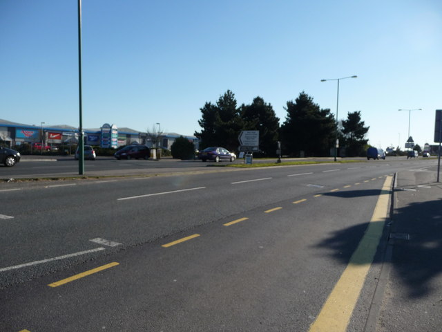
Image: © Lewis Clarke Taken: 8 Mar 2010
Ringwood Road taken from one of the bus stops - there aren't any buses in it.
Images are licensed for reuse under creativecommons.org/licenses/by-sa/2.0
Image Location
Latitude
50.758495
Longitude
-1.926396