View down Norwood Road (2)
Introduction
The photograph on this page of View down Norwood Road (2) by Stephen Richards as part of the Geograph project.
The Geograph project started in 2005 with the aim of publishing, organising and preserving representative images for every square kilometre of Great Britain, Ireland and the Isle of Man.

There are currently over 7.5m images from over 14,400 individuals and you can help contribute to the project by visiting https://www.geograph.org.uk
View down Norwood Road (2)
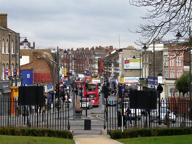
Image: © Stephen Richards Taken: 9 Feb 2010
Taken from the green in front of St Luke's church. A fairly typical volume of traffic - Norwood Road never seems to be without two solid lines of vehicles. The brown railings, and exotic tree, on the far right mark the entrance to West Norwood cemetery.
Images are licensed for reuse under creativecommons.org/licenses/by-sa/2.0
Image Location
Latitude
51.434707
Longitude
-0.10342