View of former fairways
Introduction
The photograph on this page of View of former fairways by Mr Ignavy as part of the Geograph project.
The Geograph project started in 2005 with the aim of publishing, organising and preserving representative images for every square kilometre of Great Britain, Ireland and the Isle of Man.

There are currently over 7.5m images from over 14,400 individuals and you can help contribute to the project by visiting https://www.geograph.org.uk
View of former fairways
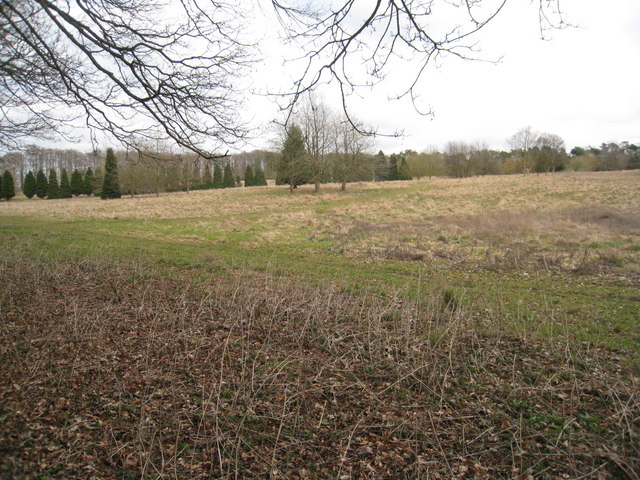
Image: © Mr Ignavy Taken: 10 Mar 2010
This land was once the former Basingstoke District Hospital's golf club that was part of the Park Prewett hospital. In January 2014 the borough council's development control committee approved plans for the building of 585 new homes and a 420-place primary school on the site.
Images are licensed for reuse under creativecommons.org/licenses/by-sa/2.0
Image Location
Latitude
51.284952
Longitude
-1.116244