Path by Rooksdown Lane
Introduction
The photograph on this page of Path by Rooksdown Lane by Mr Ignavy as part of the Geograph project.
The Geograph project started in 2005 with the aim of publishing, organising and preserving representative images for every square kilometre of Great Britain, Ireland and the Isle of Man.

There are currently over 7.5m images from over 14,400 individuals and you can help contribute to the project by visiting https://www.geograph.org.uk
Path by Rooksdown Lane
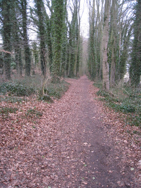
Image: © Mr Ignavy Taken: 10 Mar 2010
The lane is now closed to traffic but this path still appears to be used by cyclists travelling between the hospital and the northern end of Rooksdown estate.
Images are licensed for reuse under creativecommons.org/licenses/by-sa/2.0
Image Location
Latitude
51.285144
Longitude
-1.117818