Maryville Park, Belfast
Introduction
The photograph on this page of Maryville Park, Belfast by Rossographer as part of the Geograph project.
The Geograph project started in 2005 with the aim of publishing, organising and preserving representative images for every square kilometre of Great Britain, Ireland and the Isle of Man.

There are currently over 7.5m images from over 14,400 individuals and you can help contribute to the project by visiting https://www.geograph.org.uk
Maryville Park, Belfast
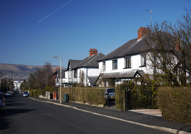
Image: © Rossographer Taken: 8 Mar 2010
Street running from the Lisburn Road to the Malone Road. Mainly developed in the 1920s and 1930s with some Victorian period properties close to the junction with the Lisburn Road.
Images are licensed for reuse under creativecommons.org/licenses/by-sa/2.0
Image Location
Latitude
54.569582
Longitude
-5.957923