Bournemouth : Mandale Road
Introduction
The photograph on this page of Bournemouth : Mandale Road by Lewis Clarke as part of the Geograph project.
The Geograph project started in 2005 with the aim of publishing, organising and preserving representative images for every square kilometre of Great Britain, Ireland and the Isle of Man.

There are currently over 7.5m images from over 14,400 individuals and you can help contribute to the project by visiting https://www.geograph.org.uk
Bournemouth : Mandale Road
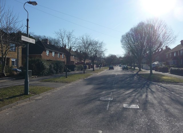
Image: © Lewis Clarke Taken: 8 Mar 2010
This road taken opposite the junction with Gladdis Road leads to Turbary Park Avenue.
Images are licensed for reuse under creativecommons.org/licenses/by-sa/2.0
Image Location


Leaflet Map data © OpenStreetMap
Latitude
50.758795
Longitude
-1.917223