Road junction, A487 and L?n Glanfr
Introduction
The photograph on this page of Road junction, A487 and L?n Glanfr by Nigel Callaghan as part of the Geograph project.
The Geograph project started in 2005 with the aim of publishing, organising and preserving representative images for every square kilometre of Great Britain, Ireland and the Isle of Man.

There are currently over 7.5m images from over 14,400 individuals and you can help contribute to the project by visiting https://www.geograph.org.uk
Road junction, A487 and L?n Glanfr
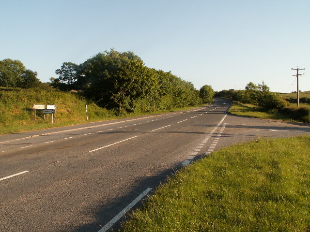
Image: © Nigel Callaghan Taken: 11 Jun 2005
Looking south on the road from Talybont to Aberystwyth. New cyclepath on left of the road.
Images are licensed for reuse under creativecommons.org/licenses/by-sa/2.0
Image Location


Leaflet Map data © OpenStreetMap
Latitude
52.468572
Longitude
-3.996131