Petersfield Festival Hall.
Introduction
The photograph on this page of Petersfield Festival Hall. by Martyn Pattison as part of the Geograph project.
The Geograph project started in 2005 with the aim of publishing, organising and preserving representative images for every square kilometre of Great Britain, Ireland and the Isle of Man.

There are currently over 7.5m images from over 14,400 individuals and you can help contribute to the project by visiting https://www.geograph.org.uk
Petersfield Festival Hall.
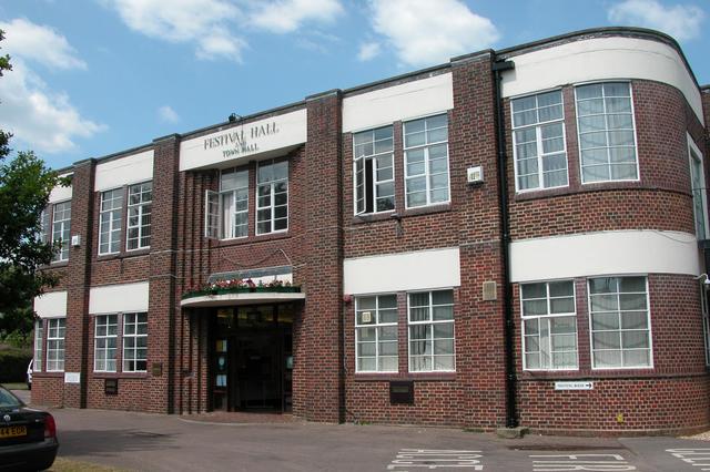
Image: © Martyn Pattison Taken: 9 Jun 2005
Once the seat the local council, most of that activity now happens on the outskirts of town. The Hall is still the town's largest venue for concerts, shows and events of all kinds.
Images are licensed for reuse under creativecommons.org/licenses/by-sa/2.0
Image Location


Leaflet Map data © OpenStreetMap
Latitude
51.003888
Longitude
-0.932764