Cottage on the B2080 (Rhee Wall)
Introduction
The photograph on this page of Cottage on the B2080 (Rhee Wall) by N Chadwick as part of the Geograph project.
The Geograph project started in 2005 with the aim of publishing, organising and preserving representative images for every square kilometre of Great Britain, Ireland and the Isle of Man.

There are currently over 7.5m images from over 14,400 individuals and you can help contribute to the project by visiting https://www.geograph.org.uk
Cottage on the B2080 (Rhee Wall)
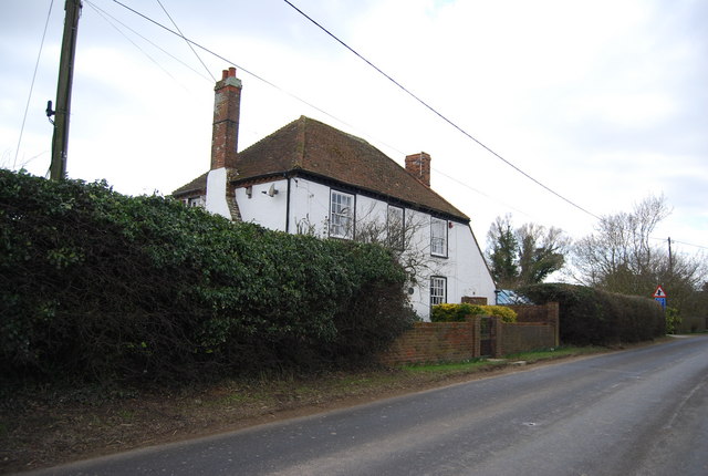
Image: © N Chadwick Taken: 6 Mar 2010
The Rhee wall (Rhee is a word for river), forming a prominent ridge. This feature was extended as a waterway in three stages from Appledore to New Romney in the 13th century, to help drain the Romney Marshes.
Images are licensed for reuse under creativecommons.org/licenses/by-sa/2.0
Image Location


Leaflet Map data © OpenStreetMap
Latitude
51.022458
Longitude
0.834285