Path alongside Grove Park MURA, Newport
Introduction
The photograph on this page of Path alongside Grove Park MURA, Newport by Jaggery as part of the Geograph project.
The Geograph project started in 2005 with the aim of publishing, organising and preserving representative images for every square kilometre of Great Britain, Ireland and the Isle of Man.

There are currently over 7.5m images from over 14,400 individuals and you can help contribute to the project by visiting https://www.geograph.org.uk
Path alongside Grove Park MURA, Newport
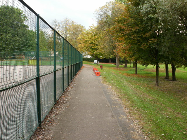
Image: © Jaggery Taken: 30 Sep 2009
MURA is a Multi Use Recreational Area. This is a large steel enclosure that can be used for a variety of sporting activities such as football, basketball, skating, tennis and netball. Grove Park opened in April 1952 as Newport's 25th public open space. About a third of the park was lost when the Malpas Road Relief Road (now the A4042) was built in the 1990s through what were the east and southeast parts of the park.
Images are licensed for reuse under creativecommons.org/licenses/by-sa/2.0
Image Location
Latitude
51.609998
Longitude
-2.996389