St Vincent Street
Introduction
The photograph on this page of St Vincent Street by Richard Webb as part of the Geograph project.
The Geograph project started in 2005 with the aim of publishing, organising and preserving representative images for every square kilometre of Great Britain, Ireland and the Isle of Man.

There are currently over 7.5m images from over 14,400 individuals and you can help contribute to the project by visiting https://www.geograph.org.uk
St Vincent Street
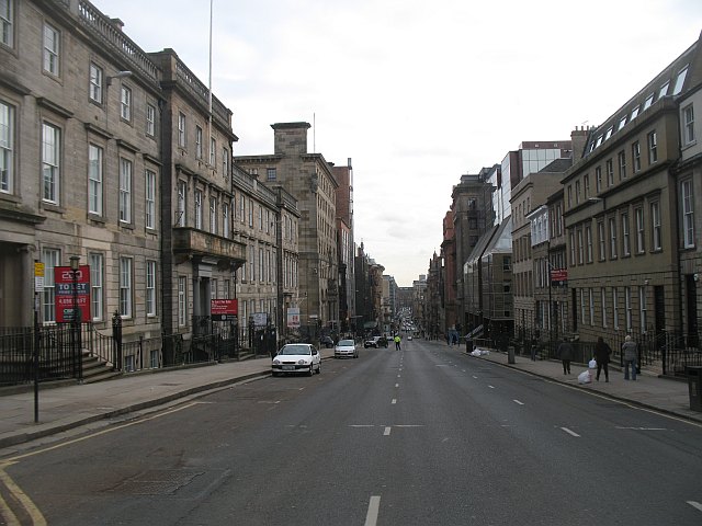
Image: © Richard Webb Taken: 6 Mar 2010
Looking eastward from Blythswood Street. This very busy road was closed for a trade union march (EIS).
Images are licensed for reuse under creativecommons.org/licenses/by-sa/2.0
Image Location
Latitude
55.862227
Longitude
-4.261526