Dog Zones
Introduction
The photograph on this page of Dog Zones by Alan Murray-Rust as part of the Geograph project.
The Geograph project started in 2005 with the aim of publishing, organising and preserving representative images for every square kilometre of Great Britain, Ireland and the Isle of Man.

There are currently over 7.5m images from over 14,400 individuals and you can help contribute to the project by visiting https://www.geograph.org.uk
Dog Zones
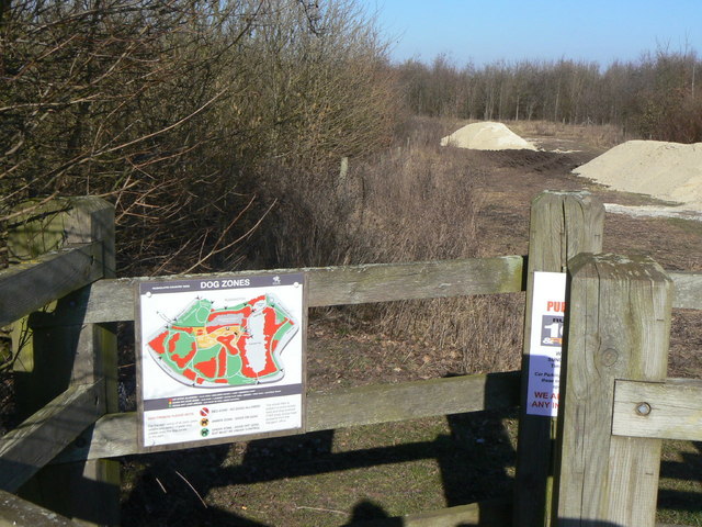
Image: © Alan Murray-Rust Taken: 7 Mar 2010
The map indicates areas in red where dogs are not allowed (primarily woodland area and the lake), green where they allowed to run free, and amber where they must be under control on a lead. In practice, the red areas are surrounded by low fences, so the boundaries are conspicuous.
Images are licensed for reuse under creativecommons.org/licenses/by-sa/2.0
Image Location
Latitude
52.879756
Longitude
-1.154762