Pasture Lane
Introduction
The photograph on this page of Pasture Lane by Alan Murray-Rust as part of the Geograph project.
The Geograph project started in 2005 with the aim of publishing, organising and preserving representative images for every square kilometre of Great Britain, Ireland and the Isle of Man.

There are currently over 7.5m images from over 14,400 individuals and you can help contribute to the project by visiting https://www.geograph.org.uk
Pasture Lane
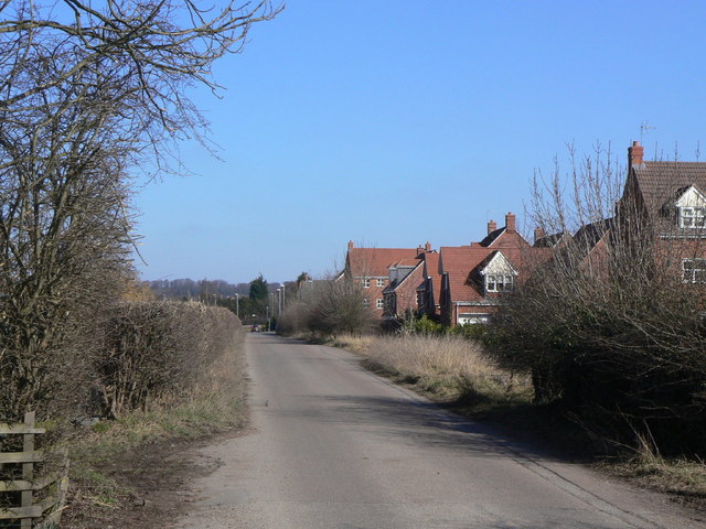
Image: © Alan Murray-Rust Taken: 7 Mar 2010
A separate road network gives access to the new housing, but this relatively narrow lane is nevertheless the main access to a large gypsum products works.
Images are licensed for reuse under creativecommons.org/licenses/by-sa/2.0
Image Location
Latitude
52.893929
Longitude
-1.163108