Woodland by Flordon Road
Introduction
The photograph on this page of Woodland by Flordon Road by Andrew Hill as part of the Geograph project.
The Geograph project started in 2005 with the aim of publishing, organising and preserving representative images for every square kilometre of Great Britain, Ireland and the Isle of Man.

There are currently over 7.5m images from over 14,400 individuals and you can help contribute to the project by visiting https://www.geograph.org.uk
Woodland by Flordon Road
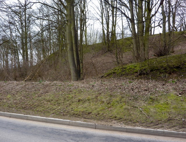
Image: © Andrew Hill Taken: 9 Mar 2010
Beech trees near an area of old workings labelled as pits on the 1:25,000 map.
Images are licensed for reuse under creativecommons.org/licenses/by-sa/2.0
Image Location
Latitude
52.156297
Longitude
1.061363