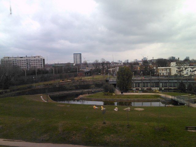
View of Mile End Park and Grove Road from Sir Christopher France House
Introduction
The photograph on this page of View of Mile End Park and Grove Road from Sir Christopher France House by Robert Lamb as part of the Geograph project.
The Geograph project started in 2005 with the aim of publishing, organising and preserving representative images for every square kilometre of Great Britain, Ireland and the Isle of Man.
There are currently over 7.5m images from over 14,400 individuals and you can help contribute to the project by visiting https://www.geograph.org.uk

Image: © Robert Lamb Taken: 9 Mar 2010
This image is a panned view of Image, looking northeast towards Bow. Here the GER can be seen running along behind the park between Stratford and Liverpool Street stations, and Grove Road (the A1205) can be seen passing under it. Some of the construction work on the Olympic site at Stratford can also be seen on the horizon. Curiously this image is classed as being near Bow rather than Stepney, although I feel the former is more correct than the latter. Mile End Park was originally occupied by John Wright & Sons (veneers) Ltd. Logs were delivered by barge and also some by road on the canal and from them veneers for the furniture industry were produced. Grove Road bridge was the site of the first doodlebug attack during WW2. Thanks to Alan Lewin for this information.

