Elevated houses, Whitehead
Introduction
The photograph on this page of Elevated houses, Whitehead by Albert Bridge as part of the Geograph project.
The Geograph project started in 2005 with the aim of publishing, organising and preserving representative images for every square kilometre of Great Britain, Ireland and the Isle of Man.

There are currently over 7.5m images from over 14,400 individuals and you can help contribute to the project by visiting https://www.geograph.org.uk
Elevated houses, Whitehead
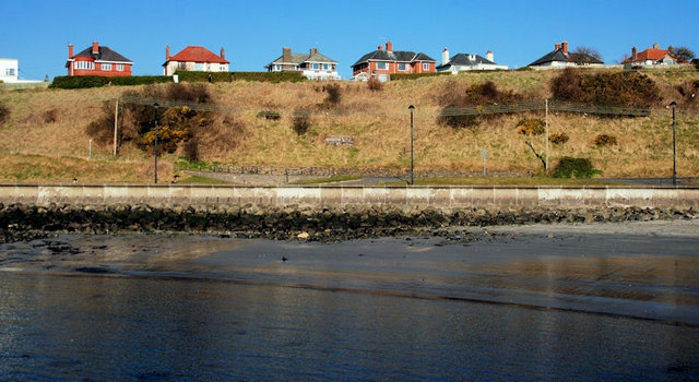
Image: © Albert Bridge Taken: 9 Mar 2010
Houses, in Donegall Avenue, with an uninterrupted view across Belfast Lough to the Copeland Islands.
Images are licensed for reuse under creativecommons.org/licenses/by-sa/2.0
Image Location
Latitude
54.756793
Longitude
-5.704904