Site of lost village
Introduction
The photograph on this page of Site of lost village by Michael Dibb as part of the Geograph project.
The Geograph project started in 2005 with the aim of publishing, organising and preserving representative images for every square kilometre of Great Britain, Ireland and the Isle of Man.

There are currently over 7.5m images from over 14,400 individuals and you can help contribute to the project by visiting https://www.geograph.org.uk
Site of lost village
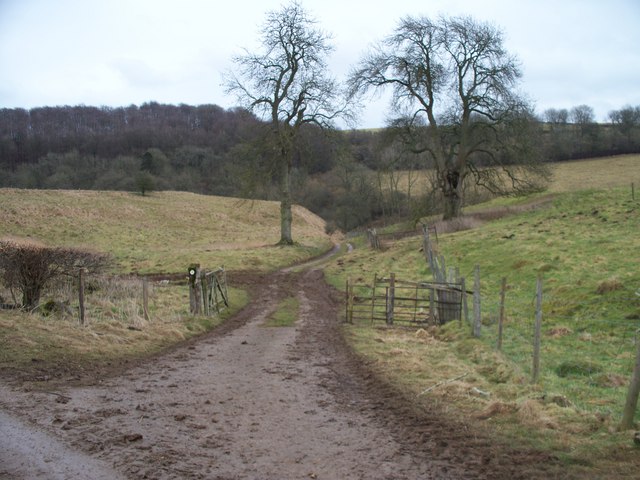
Image: © Michael Dibb Taken: 25 Feb 2010
The footpath crosses the access track to Pinnock Farm. The view here is to east. Part of the lost medieval village was in this area.
Images are licensed for reuse under creativecommons.org/licenses/by-sa/2.0
Image Location
Latitude
51.951611
Longitude
-1.891116