Debdale Sailing Centre
Introduction
The photograph on this page of Debdale Sailing Centre by Peter Teal as part of the Geograph project.
The Geograph project started in 2005 with the aim of publishing, organising and preserving representative images for every square kilometre of Great Britain, Ireland and the Isle of Man.

There are currently over 7.5m images from over 14,400 individuals and you can help contribute to the project by visiting https://www.geograph.org.uk
Debdale Sailing Centre
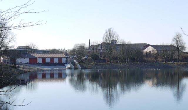
Image: © Peter Teal Taken: 6 Mar 2010
To the right of the sailing centre is the Bandstand Public House with its Wacky Warehouse, in the centre right in the background is the spire of Brookfied Unitarian Church.
Images are licensed for reuse under creativecommons.org/licenses/by-sa/2.0
Image Location
Latitude
53.46037
Longitude
-2.160362