Bainton Station (remains)
Introduction
The photograph on this page of Bainton Station (remains) by Ben Brooksbank as part of the Geograph project.
The Geograph project started in 2005 with the aim of publishing, organising and preserving representative images for every square kilometre of Great Britain, Ireland and the Isle of Man.

There are currently over 7.5m images from over 14,400 individuals and you can help contribute to the project by visiting https://www.geograph.org.uk
Bainton Station (remains)
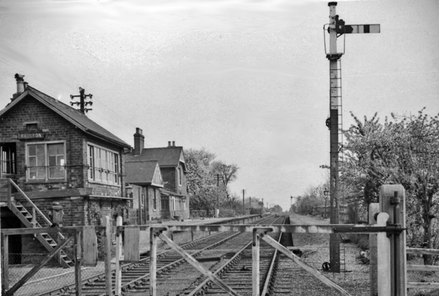
Image: © Ben Brooksbank Taken: 18 Apr 1961
Eastward view on Market Weighton - Driffield line (closed June 1965); station closed September 1954 - but still very much in evidence 5½ years later.
Images are licensed for reuse under creativecommons.org/licenses/by-sa/2.0
Image Location
Latitude
53.946057
Longitude
-0.526337