Track from Woolley's Lane . . .
Introduction
The photograph on this page of Track from Woolley's Lane . . . by Kate Jewell as part of the Geograph project.
The Geograph project started in 2005 with the aim of publishing, organising and preserving representative images for every square kilometre of Great Britain, Ireland and the Isle of Man.

There are currently over 7.5m images from over 14,400 individuals and you can help contribute to the project by visiting https://www.geograph.org.uk
Track from Woolley's Lane . . .
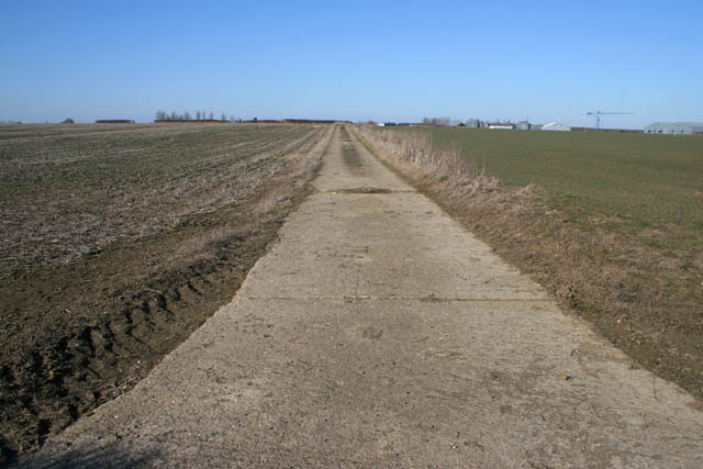
Image: © Kate Jewell Taken: 7 Mar 2010
. . . my version almost exactly 2 years after Image Honey Pot Lane industrial estate on the horizon.
Images are licensed for reuse under creativecommons.org/licenses/by-sa/2.0
Image Location
Latitude
52.782645
Longitude
-0.600936