Honey Pot Lane industrial site
Introduction
The photograph on this page of Honey Pot Lane industrial site by Kate Jewell as part of the Geograph project.
The Geograph project started in 2005 with the aim of publishing, organising and preserving representative images for every square kilometre of Great Britain, Ireland and the Isle of Man.

There are currently over 7.5m images from over 14,400 individuals and you can help contribute to the project by visiting https://www.geograph.org.uk
Honey Pot Lane industrial site
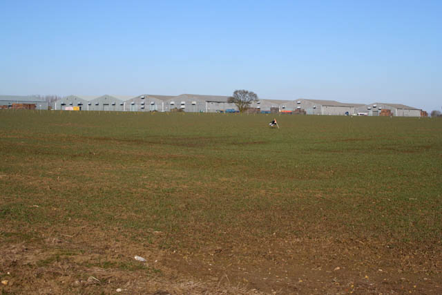
Image: © Kate Jewell Taken: 7 Mar 2010
As viewed from Woolley's Lane between the A1 and Lobthorpe. This industrial estate, out in the countryside, is close to the A1 and thus to the transport links in eastern England.
Images are licensed for reuse under creativecommons.org/licenses/by-sa/2.0
Image Location
Latitude
52.782608
Longitude
-0.597823