Braeminzion and Whitehillocks
Introduction
The photograph on this page of Braeminzion and Whitehillocks by Anne Burgess as part of the Geograph project.
The Geograph project started in 2005 with the aim of publishing, organising and preserving representative images for every square kilometre of Great Britain, Ireland and the Isle of Man.

There are currently over 7.5m images from over 14,400 individuals and you can help contribute to the project by visiting https://www.geograph.org.uk
Braeminzion and Whitehillocks
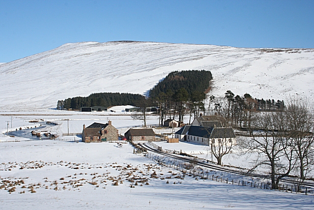
Image: © Anne Burgess Taken: 2 Mar 2010
Braeminzion is the nearer farm, on the low ground by the river, and Whitehillocks is sheltered by the blocks of trees on the slopes on the far side. The summit on the skyline is Tops of Fichell (578 metres) in NO3868.
Images are licensed for reuse under creativecommons.org/licenses/by-sa/2.0
Image Location
Latitude
56.789303
Longitude
-3.040719