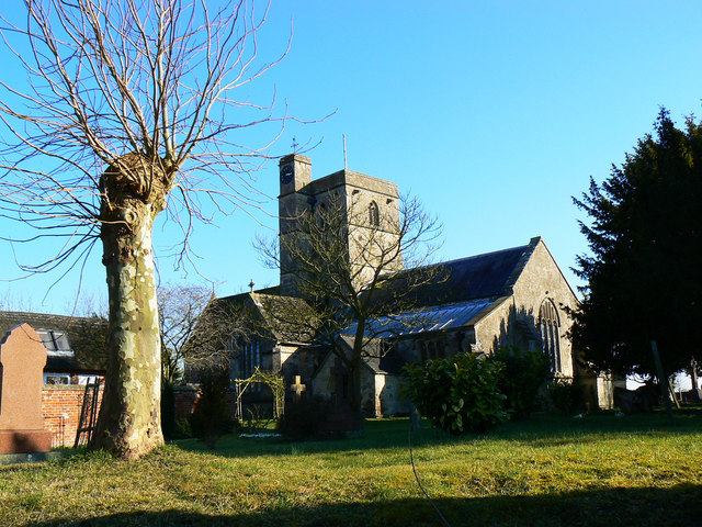
All Saints Church, All Cannings
Introduction
The photograph on this page of All Saints Church, All Cannings by Brian Robert Marshall as part of the Geograph project.
The Geograph project started in 2005 with the aim of publishing, organising and preserving representative images for every square kilometre of Great Britain, Ireland and the Isle of Man.
There are currently over 7.5m images from over 14,400 individuals and you can help contribute to the project by visiting https://www.geograph.org.uk

Image: © Brian Robert Marshall Taken: 7 Mar 2010
This is the north elevation of the church. The small porch is the oldest part of what can be seen here dating to the 11th and 12th centuries. The tower and the pitched-roof transept are as rebuilt in the 15th century. The clock tower is a relatively recent addition although I have been unable to date it. The name 'All Cannings' is derived in part from an ancient tribe called the Caningas. They also gave their name to Caen Hill near Devizes and possibly also Calne. The 'All' part may have come from the Saxon 'ald' meaning old. Up to 1841 All Cannings was known as Allcannings. Later in the 19th century it was 'AllCannings'. By the beginning of the 20th century All Cannings took the name it bears to this day.

