Public Footpath Broughton Moor
Introduction
The photograph on this page of Public Footpath Broughton Moor by Bob Jenkins as part of the Geograph project.
The Geograph project started in 2005 with the aim of publishing, organising and preserving representative images for every square kilometre of Great Britain, Ireland and the Isle of Man.

There are currently over 7.5m images from over 14,400 individuals and you can help contribute to the project by visiting https://www.geograph.org.uk
Public Footpath Broughton Moor
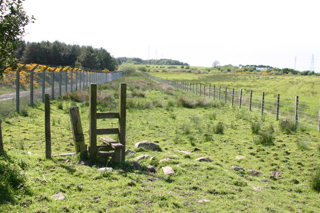
Image: © Bob Jenkins Taken: 24 May 2006
To the left is the old RNAD depot - "The Dump" whilst to the right is land reclaimed from opencast mining. Down the middle it is very marshy.
Images are licensed for reuse under creativecommons.org/licenses/by-sa/2.0
Image Location


Leaflet Map data © OpenStreetMap
Latitude
54.681226
Longitude
-3.478078