The Lamb Inn, Mangotsfield
Introduction
The photograph on this page of The Lamb Inn, Mangotsfield by Linda Bailey as part of the Geograph project.
The Geograph project started in 2005 with the aim of publishing, organising and preserving representative images for every square kilometre of Great Britain, Ireland and the Isle of Man.

There are currently over 7.5m images from over 14,400 individuals and you can help contribute to the project by visiting https://www.geograph.org.uk
The Lamb Inn, Mangotsfield
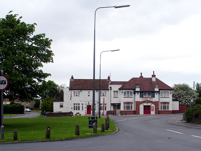
Image: © Linda Bailey Taken: 24 May 2006
This was originally comprised of 3 cottages, and date from 1596. There are references to a brewhouse in 1737. Most of the present structure dates from the 19th century.
Images are licensed for reuse under creativecommons.org/licenses/by-sa/2.0
Image Location
Latitude
51.486527
Longitude
-2.487169