Windyedge
Introduction
The photograph on this page of Windyedge by Anne Burgess as part of the Geograph project.
The Geograph project started in 2005 with the aim of publishing, organising and preserving representative images for every square kilometre of Great Britain, Ireland and the Isle of Man.

There are currently over 7.5m images from over 14,400 individuals and you can help contribute to the project by visiting https://www.geograph.org.uk
Windyedge
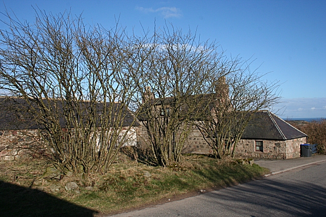
Image: © Anne Burgess Taken: 1 Mar 2010
It won't be long before the leaves on these trees by the roadside in Windyedge obscure this view of the old buildings.
Images are licensed for reuse under creativecommons.org/licenses/by-sa/2.0
Image Location
Latitude
57.03411
Longitude
-2.165237