Pond near Barnhorne Manor
Introduction
The photograph on this page of Pond near Barnhorne Manor by Simon Carey as part of the Geograph project.
The Geograph project started in 2005 with the aim of publishing, organising and preserving representative images for every square kilometre of Great Britain, Ireland and the Isle of Man.

There are currently over 7.5m images from over 14,400 individuals and you can help contribute to the project by visiting https://www.geograph.org.uk
Pond near Barnhorne Manor
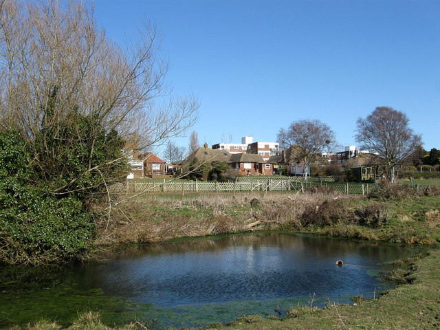
Image: © Simon Carey Taken: 7 Mar 2010
One of a number next to the footpath from the manor house to a disused barn which was also once the location of the settlement of Barnhorne which existed from the 12th to 14th centuries. The current houses and flats are on Barnhorn Road, the A259.
Images are licensed for reuse under creativecommons.org/licenses/by-sa/2.0
Image Location
Latitude
50.843093
Longitude
0.419522