Toll Field
Introduction
The photograph on this page of Toll Field by Simon Carey as part of the Geograph project.
The Geograph project started in 2005 with the aim of publishing, organising and preserving representative images for every square kilometre of Great Britain, Ireland and the Isle of Man.

There are currently over 7.5m images from over 14,400 individuals and you can help contribute to the project by visiting https://www.geograph.org.uk
Toll Field
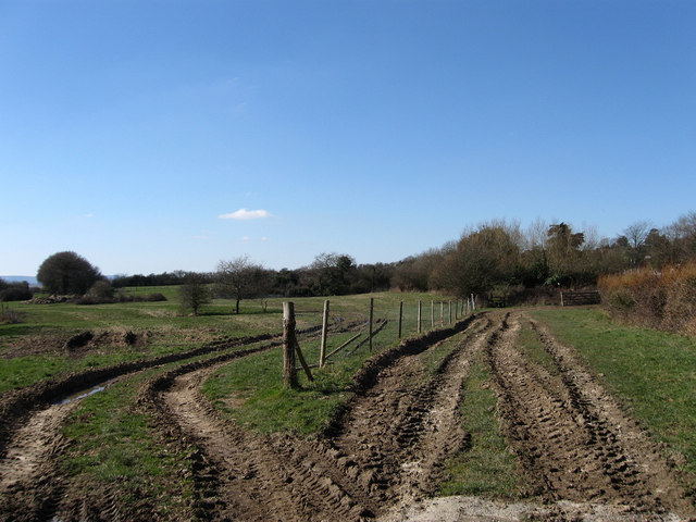
Image: © Simon Carey Taken: 7 Mar 2010
The name of the field according to the 1843 tithe map and also the site of the former settlement of Barnhorne that existed between the 13th and 14th centuries before a combination of disease, coastal storms and change in marsh agriculture from cereal production to sheep caused depopulation and eventual desertion.
Images are licensed for reuse under creativecommons.org/licenses/by-sa/2.0
Image Location
Latitude
50.842991
Longitude
0.420085