Barnhorne Manor
Introduction
The photograph on this page of Barnhorne Manor by Simon Carey as part of the Geograph project.
The Geograph project started in 2005 with the aim of publishing, organising and preserving representative images for every square kilometre of Great Britain, Ireland and the Isle of Man.

There are currently over 7.5m images from over 14,400 individuals and you can help contribute to the project by visiting https://www.geograph.org.uk
Barnhorne Manor
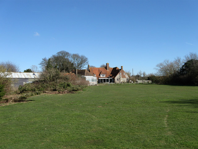
Image: © Simon Carey Taken: 7 Mar 2010
Not to be confused with Barnhorn Manor to the west. For many years this building was known as Lower Barnhorn and is marked as such on early OS maps. The manor of Barnhorn is ancient its boundaries having been laid out by a charter in 772 and for much of the medieval period its owners were Battle Abbey. This does appear to be the site of the medieval manor which was moved here sometime in the 13th century and a settlement constructed nearby to provide labour for reclaiming and farming the nearby marshes.
Images are licensed for reuse under creativecommons.org/licenses/by-sa/2.0
Image Location
Latitude
50.842938
Longitude
0.422639