Path to Temple Guiting
Introduction
The photograph on this page of Path to Temple Guiting by Michael Dibb as part of the Geograph project.
The Geograph project started in 2005 with the aim of publishing, organising and preserving representative images for every square kilometre of Great Britain, Ireland and the Isle of Man.

There are currently over 7.5m images from over 14,400 individuals and you can help contribute to the project by visiting https://www.geograph.org.uk
Path to Temple Guiting
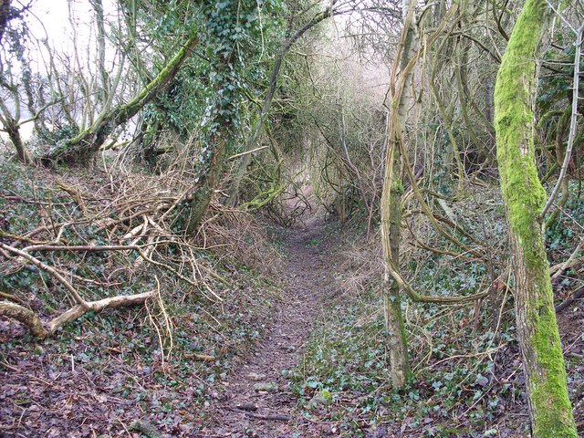
Image: © Michael Dibb Taken: 25 Feb 2010
The path, possibly an old hollow way, continues on its way to Temple Guiting. There has obviously been no clearing done for some time and the growth is threatening to overwhelm the path.
Images are licensed for reuse under creativecommons.org/licenses/by-sa/2.0
Image Location
Latitude
51.952605
Longitude
-1.895625